Services and Applications
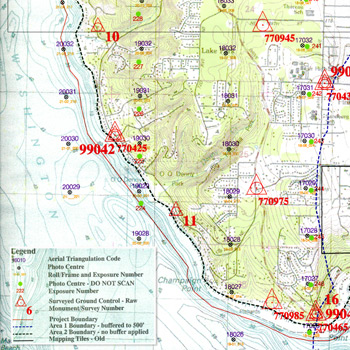
Project and Flight Planning
We will work with you to produce a custom flight plan that meets your mapping project needs and industry standards. Where is a panchromatic, or colour and colour infrared photography, satellite sensors, utilizing a film or digital camera, we will outline the step by step the project from the 3D flight planning, ABGPS, IMU, number of ground control points as needed and their distribution tailored to the specific area, their accuracy, target shape and size, aerial photos specifications, scanning, until the last product of the project.
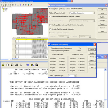
Ground Survey Control and Aerial Triangulation
Teamed with a Surveying company we will coordinate the ground control targeting and measuring as planned and required for the mapping project. In order to obtain the exterior orientation for the scanned or digital images Unimap utilizies the softcopy manually or semi-automatic methods for densifying the control points in the adjacent images (tie points and pass points), with assistance of measured the ground control points, Airborne GPS and Inertial Measurement Unit.
After the manual stereo quality check of all the measurements, we perform a bundle block adjustment in the AT block until the accuraccy meets the project requirements.
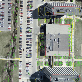
Digital Data Capture
Compiling the digital data for a variety of applications, Unimap can create different mapping data tailored to clients needs:
Planimetry Mapping - buildings rooftop outlines 2D and 3D, roads, utilities, hydrology and vegetation.
Digital Terrain and Elevation Model (DTM and DEM) - is the digital terrain model used for contour generation, orthophoto rectification, flood plain mapping, volume calculations, 3D modeling and terrain visualization, powerline as-built surveys.
LiDAR ( Light Detection and Ranging) and ADS40
Unimap plans and manages a LiDAR or ADS40 project, or combination of both. From LiDAR data filtering to stereo QC for different mapping applications, we have the technology and unique techniques to produce among the best DEM in the industry.
A sample can be provided at clients request.
We have hundreds of project examples for applications serving Local and State Government agencies, civil and environmental engineering firms, utilities, oil and mineral exploration firms.
- City new and update mapping for Public Works, Planning & Zoning
- County wide mapping with ADS40 and LiDAR - Land assessment, SubDivision Planning & Design
- Enviromental study and forestry
- Plant, Facility and Utility Management
- Transportation System, Railway and Highway Design
- Flood prevention and control
- Oil and pipeline projects
- Mining, Landfill/Quarry Management, Volumetric and Quantity Calculations
Our experience ranges from large scale project 1''=40' imperial scale or 1:500 metric, to small scale 1:20000.
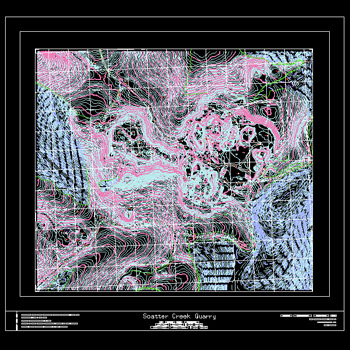
Data Editing, Cartographic Representation and Translation
After data capture we create topological clean data, ready for a GIS project or cartographic presentation for a digital or hard copy map.
Our well established system and workflow consist of:
- Automatically find and repair dangles, undershoots, overshoots, line work gaps, generating a clean, high-precision data.
- Presentation tools that add grids and legends to mapping data, thematic representation of attributes and graphics.
With a variety of software programs in-house we can translate in and out any data format, either for utilizing it for update mapping (existing data) or new format as required from our clients. Some of the data formats we provide are MicroStation DGN format , AutoCAD DWG format or DXF, ESRI ArcInfo formats.
We can provide High resolution black and white or colour Plotting in hard copy paper, laminate or film
Digital Orthophotography
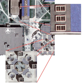
Unimap employs the ERDAS IMAGINE software to perform image rectification, tonal balancing before or after generating the orthophotos for the entire project, mosaicing and quality assessment. With the sophisticated tools Unimap performs contrast streches, re-sampling and radiometric corrections. The final product are georefenced digital images available in different formats: GeoTIFF, JPEG2000, IMG. .SID or ECW. All orthophotos generated can be translated in GeoPDF format which can be viewed with Acrobat Reader
Remote Sensing
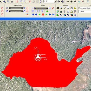
Whether is needed to monitor the vegetation cover areas, manage water resources or the risk of forest fires, urbanization impact, coastline mapping update or monitoring Arctic-ice changes, beyond keeping up to date with the latest development and equipped with the ERDAS IMAGINE Advantage package we have the knowledge and all the image processing and remote sensing analysis tools.